
Drone survey
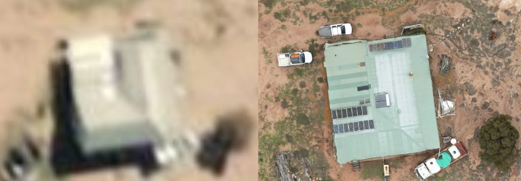
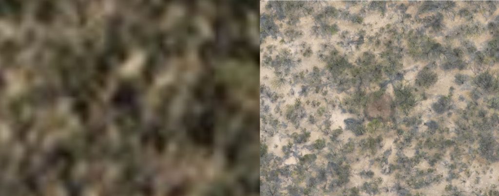
Committee zoologist Andrew McCreery visited the block with Joe Porter this April to capture detailed layers of the property with Joe’s drone.
The northern half of the property was captured, with a large improvement in topographical image quality compared to freely available satellite imagery:
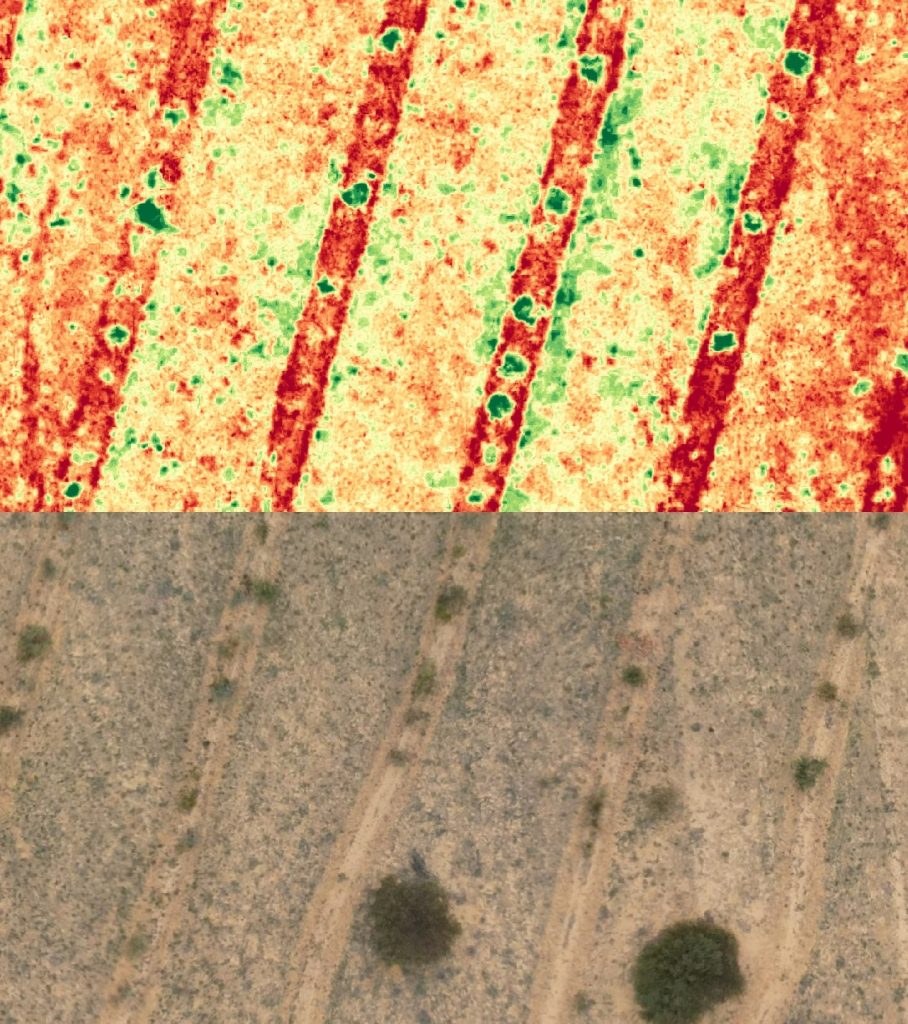
Data will be used to aid in vegetation and fauna habitat mapping and ongoing vegetation health monitoring in the paddocks rehabilitated by Carbon Positive Australia.